Designed for collecting, processing, and analyzing the digital activity of enemy personnel to detect anomalies and potential threats within the network environment.

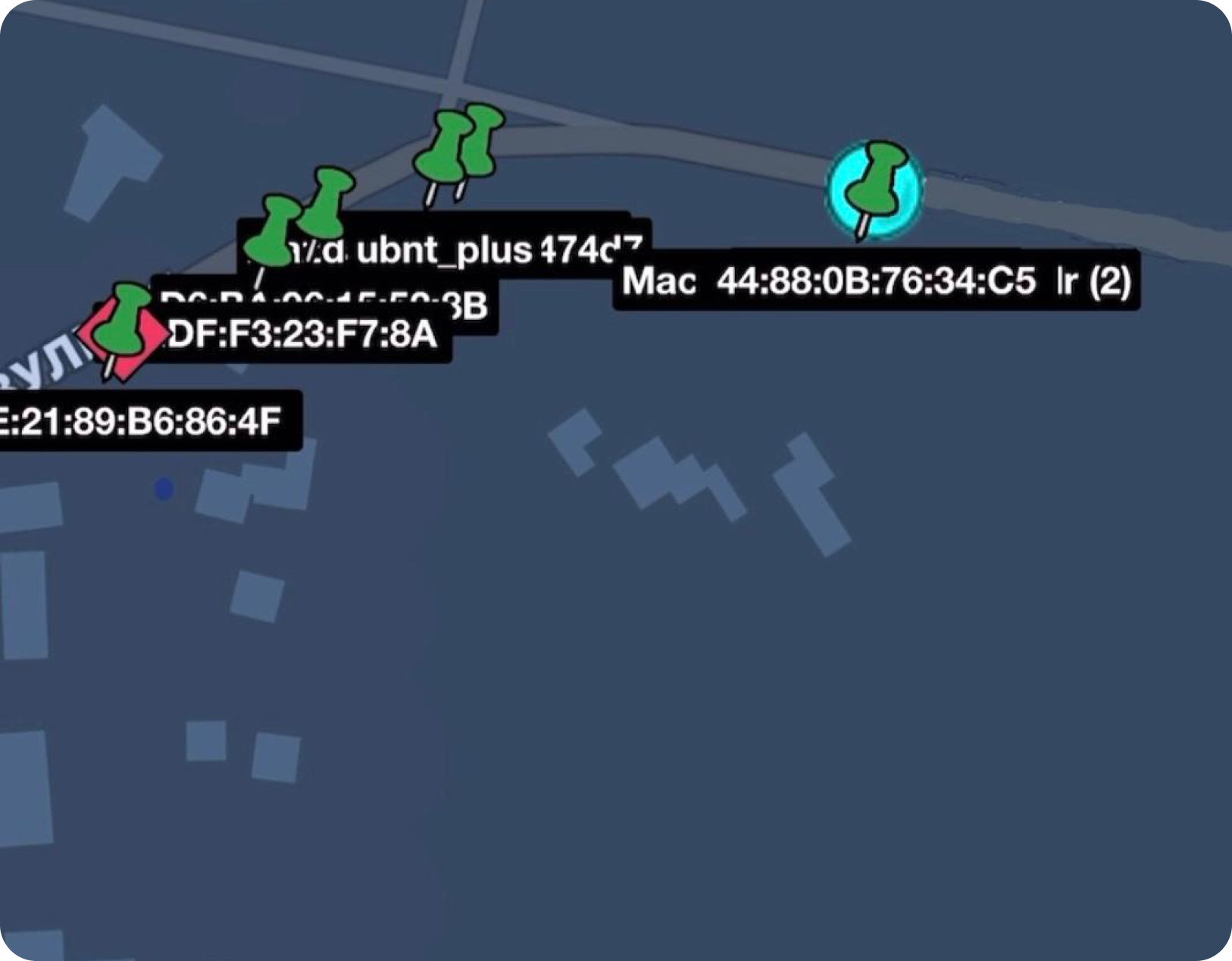
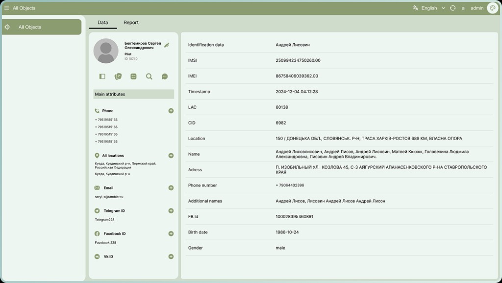
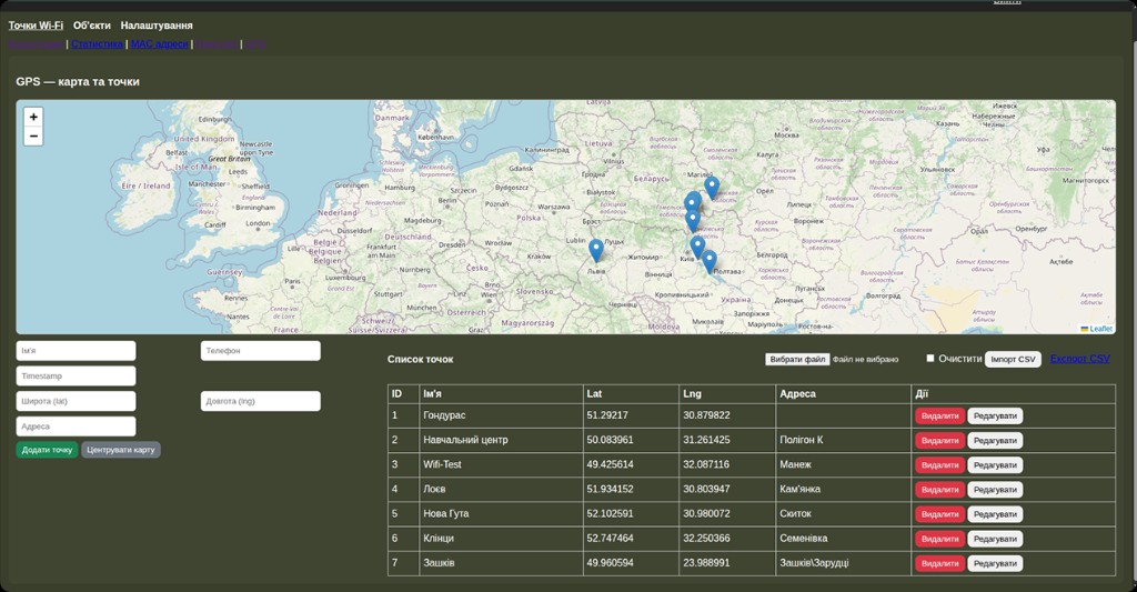
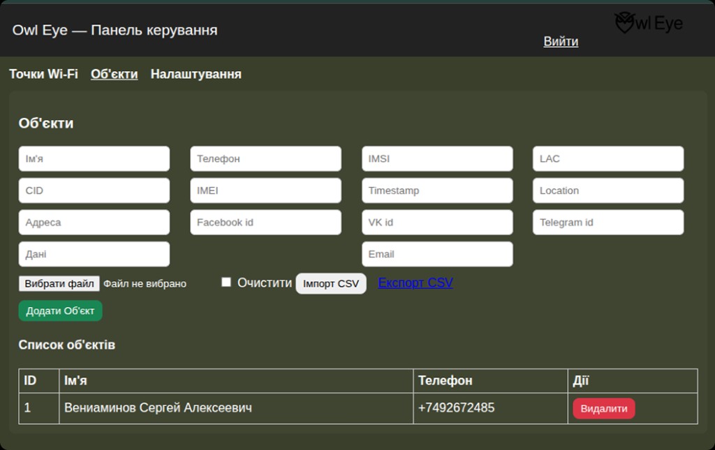
The interactive map interacts with the scanned information. As a result, object icons are displayed on the map. By interacting with an icon, a menu opens with data about the object, such as phone numbers and IDs. The captured data is sent to the platform for more detailed investigation. Developers process this information and add corresponding status tags to the users map ("Scouted," "Scouting in Progress," "Investigated"). Each of these tags contains all the information about the object that the platform was able to obtain
The map analyzes the received data and displays object icons at the required coordinates.
Clicking the icon opens a menu with brief data: phone numbers, IDs, and other details.
The collected information is automatically sent to the platform for deeper processing.
After analysis, labels are added: "Reconnaissance Complete," "Reconnaissance in Progress," "Researched."
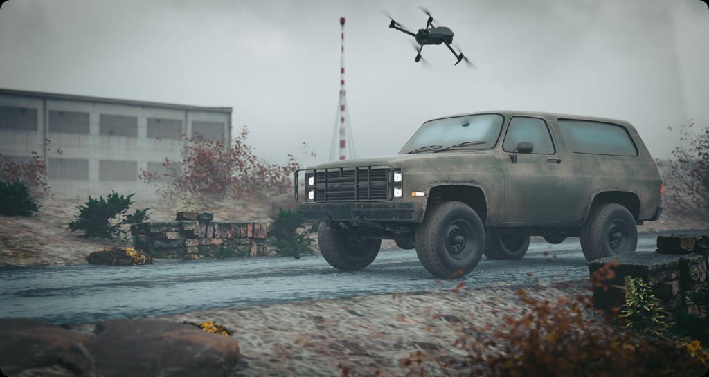
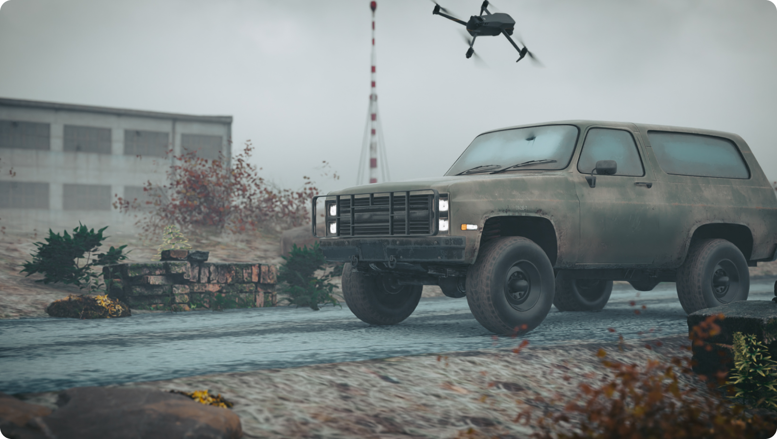
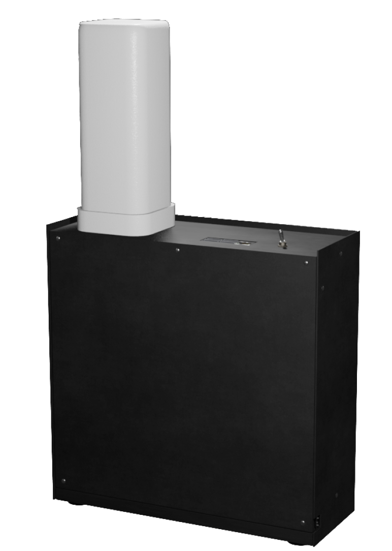
1. The module can be installed on an unmanned aerial vehicle (UAV, fixed-wing drone), a surface drone, or a military vehicle.
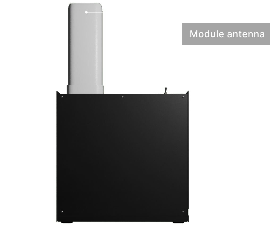
2. The module can also be used as a stationary unit, installed in a fixed location.
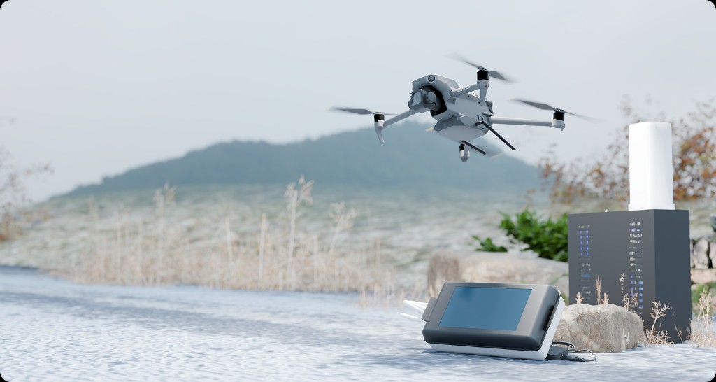
The device has been tested both on UAVs and in ground-based operations. The data collection rate is 100+ identifiers per minute. Battery power provides up to 10 hours of continuous operation.
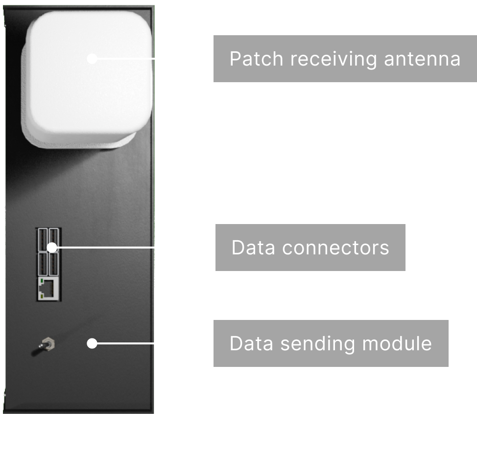
Total weight: 3.6 Kg./7.94 lb (according to the plan will be less)
The module captures network identifiers (e.g., IMSI, LAC, CID) and is capable of sending SMS messages. The total weight with the battery is 2.4 kg. The module can also be powered by an FPV drone battery.
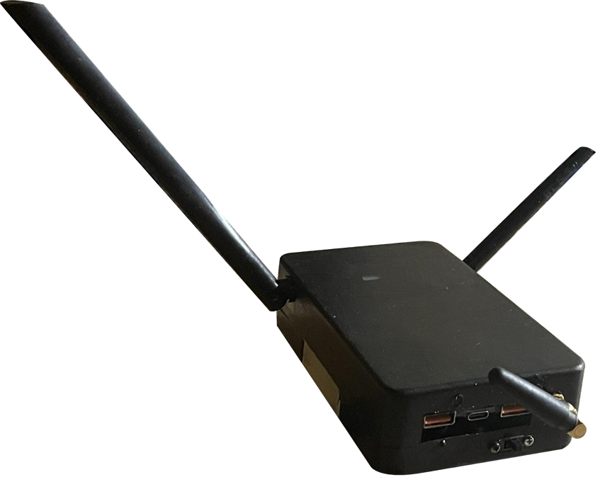
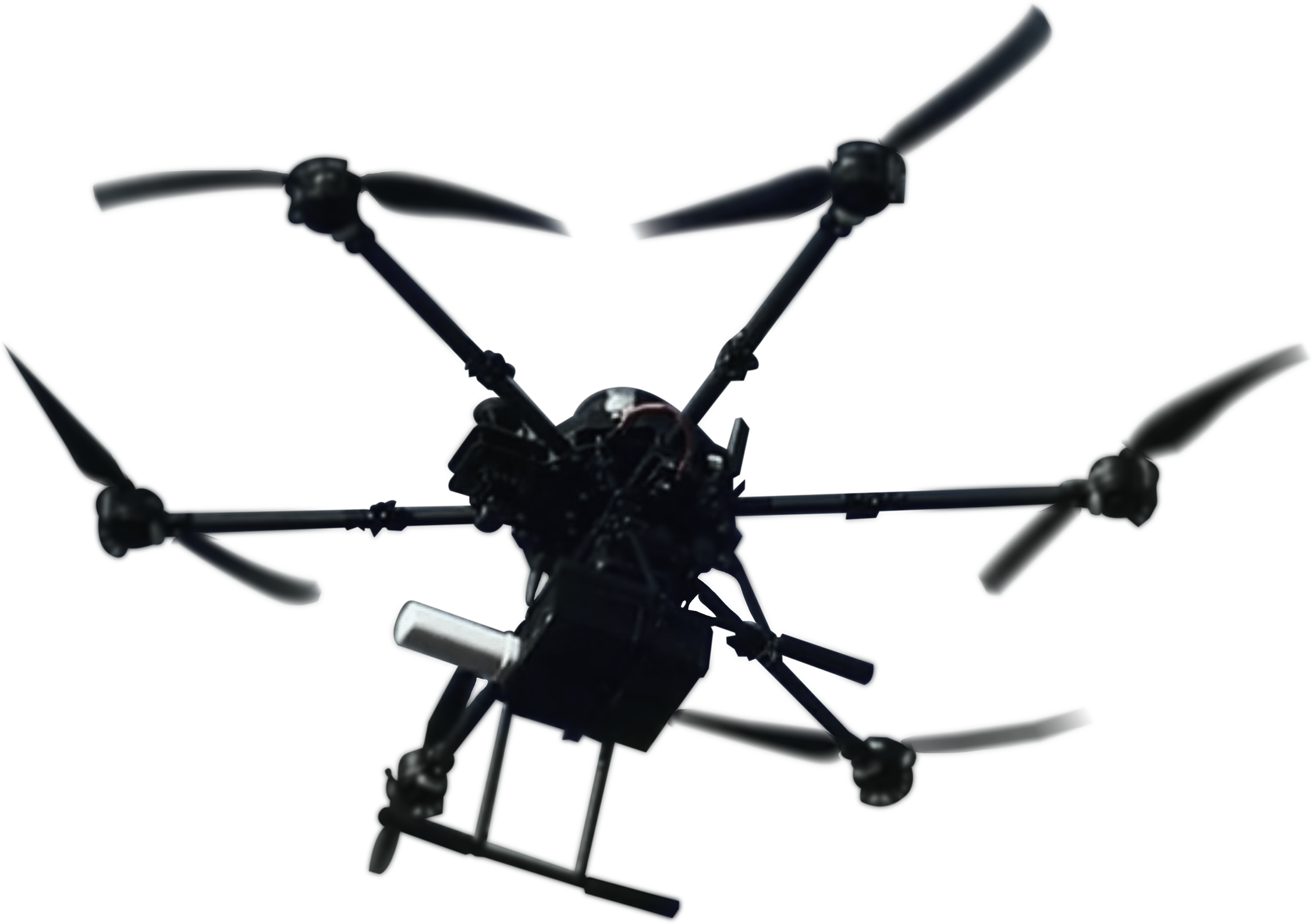
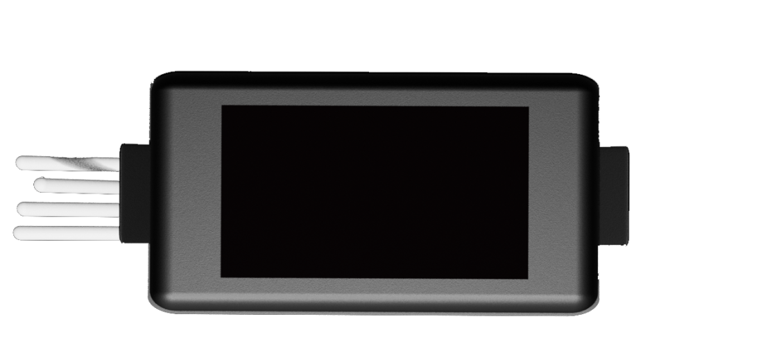
The direction-finding complex consists of two components, each weighing 350 grams. For testing purposes, it was mounted on a Mavic 3 UAV. Similar UAV systems can also be used to install this device. Data collection range is up to 1000 m.
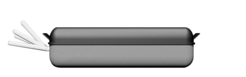
 Concept 1
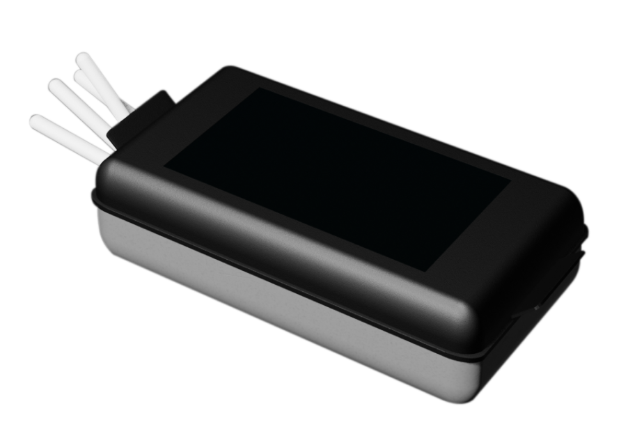
 Concept 2
 Prototype 1
 Prototype 2
Building a demo of the technical module and preparing the beta version of the desktop web application.
Updating and improving the module. Refactoring the desktop web version and developing a mobile application
The final development phase is complete, and the software is ready for release.
Fill out the form and we will contact you shortly
